Surveying and Mapping Drone
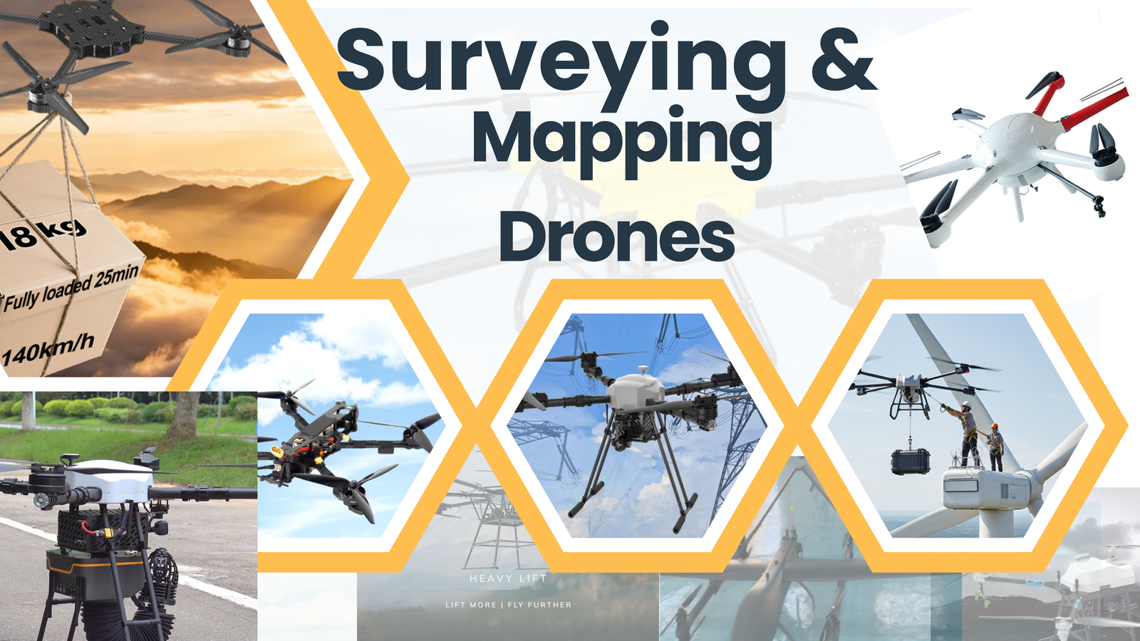
We specialize in delivering advanced Surveying & Mapping Drone Solutions, engineered for high-precision geospatial data collection, aerial mapping, and land survey applications. Our drone systems support civil engineering projects, infrastructure development, mining operations, highways & railway surveys, real estate planning, smart city projects, agriculture mapping, and utility corridor assessments.
Our surveying drones are equipped with high-resolution RGB cameras, RTK/PPK GPS systems, LiDAR sensors, multispectral cameras, autonomous flight planning software, long-range data transmission systems, and real-time terrain modeling capabilities. These technologies enable accurate topographic surveys, contour mapping, volumetric analysis, 3D modeling, orthomosaic generation, and GIS data integration with minimal ground intervention.
Our deployment process includes site assessment, mission planning, flight path programming, sensor calibration, ground control point (GCP) integration, data processing, accuracy validation, and regulatory compliance checks to ensure reliable and precise results.
We provide end-to-end Surveying & Mapping Drone Solutions, designed to enhance measurement accuracy, reduce project timelines, improve operational safety, optimize resource planning, and support data-driven decision-making across engineering and infrastructure sectors.
